MDR 2014 day 0, part 2: AirBNB
MDR is a 4-day tour, but my last two times the adventure for me has started day 0, as I've ventured southward to stay overnight near the tour start location.
Last year I shared a hotel room with Jeff. That went well, but Jeff now lives closer to the start, so he can just drive in day-of. I didn't get anyone else to share a room with, so I resigned myself to Motel 6, which is the cheapest option around here.
But then I thought of AirBNB. Maybe there was something close by. Sure enough, within virtual walking distance, I found a place. So I signed up.
Things weren't super-smooth, though, as Pam's (not her real name) policy was to only rent to people who had a history with AirBNB. This makes sense, because with a history you get reviews, and that serves as a filter for the undesirables. But I showed here my LinkedIn page, and she saw whom I knew. In particular, we both knew a women with whom I'd worked fairly extensively when I was at Stanford. Weird.
So I set off. After a frenzied day with a lot of stuff going on, I left work and caught the 6:17 southbound from Sunnyvale. That's direct to San Jose Diridon station. But then things went a bit awry.

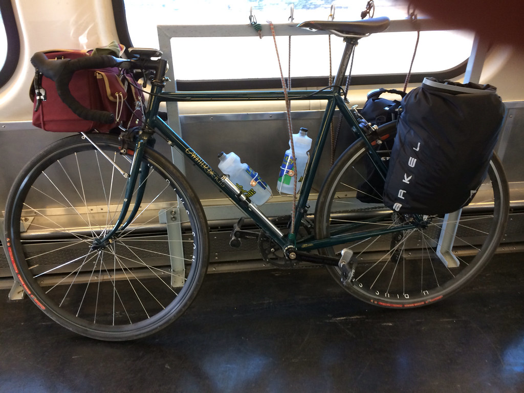
On Caltrain
I always find navigating from train stations a challenge. First, I try to figure out south or west, depending on the position of the sun. Getting bearings always take me a few minutes. Then I tried to use my Garmin 800's navigation function to follow a Strava route I'd downloaded. The Garmin is good at telling you where to turn if you are on a route, but it's not good at all about telling you how to get on a route if you're headed the wrong direction. And I was headed the wrong direction.
So ignoring the desperate beeps issuing from the Garmin, I pulled out my iPhone instead, and used the Google Map app. That has good route directions: almost as good as the Strava route. But it required I stop periodically and check the phone.
Eventually I found my way to the Los Gatos Creek Trail, which was my goal. Los Gatos Creek trail in the evening is a bit crazy, with walkers, cyclists, runners, and plenty of blind corners and narrow highway crossings. I got plenty of practice ringing the stem-mounted bell on the Winter Allaban.
Curiously, even though I was obviously back on the trail, the Garmin kept telling me to do a U-turn. This highlights an issue with course navigation. Is the goal to complete the whole course, or is the goal a transportation one, where one simply wants to reach the destination using the route for guidance? Garmin makes no distinction, and it's bias seems to be toward guiding you to complete the full route, whether that's by design or by accident.
So I got to Pam's place late: 7:30. But things got better from here on. She showed me my room, which was nice. She was making dinner. I'd not made any arrangements to eat here, so after unloading my stuff, I set off with empty panniers to the Trader Joe's, trying to beat the impending sunset.
When I returned, pannier empty no longer, Pam invited me to eat some of the food she'd made. $20 for dinner + breakfast, all organic, fresh cooked, and (lucky me) vegetarian on this particular day. That seemed way preferable to stale Trader Joe's rice cakes and pre-packaged guacamole. So I agreed. And it was very good. The Trader Joe's stuff will still be good tomorrow night.
So day 0 is complete. For the same price as Trader Joes, a quiet comfortable room, good food, and interesting conversation. Now all I need to do is get up in the morning, get my stuff together, and ride over to the start of the tour, not even a mile away. Then the real adventure begins.

Comments